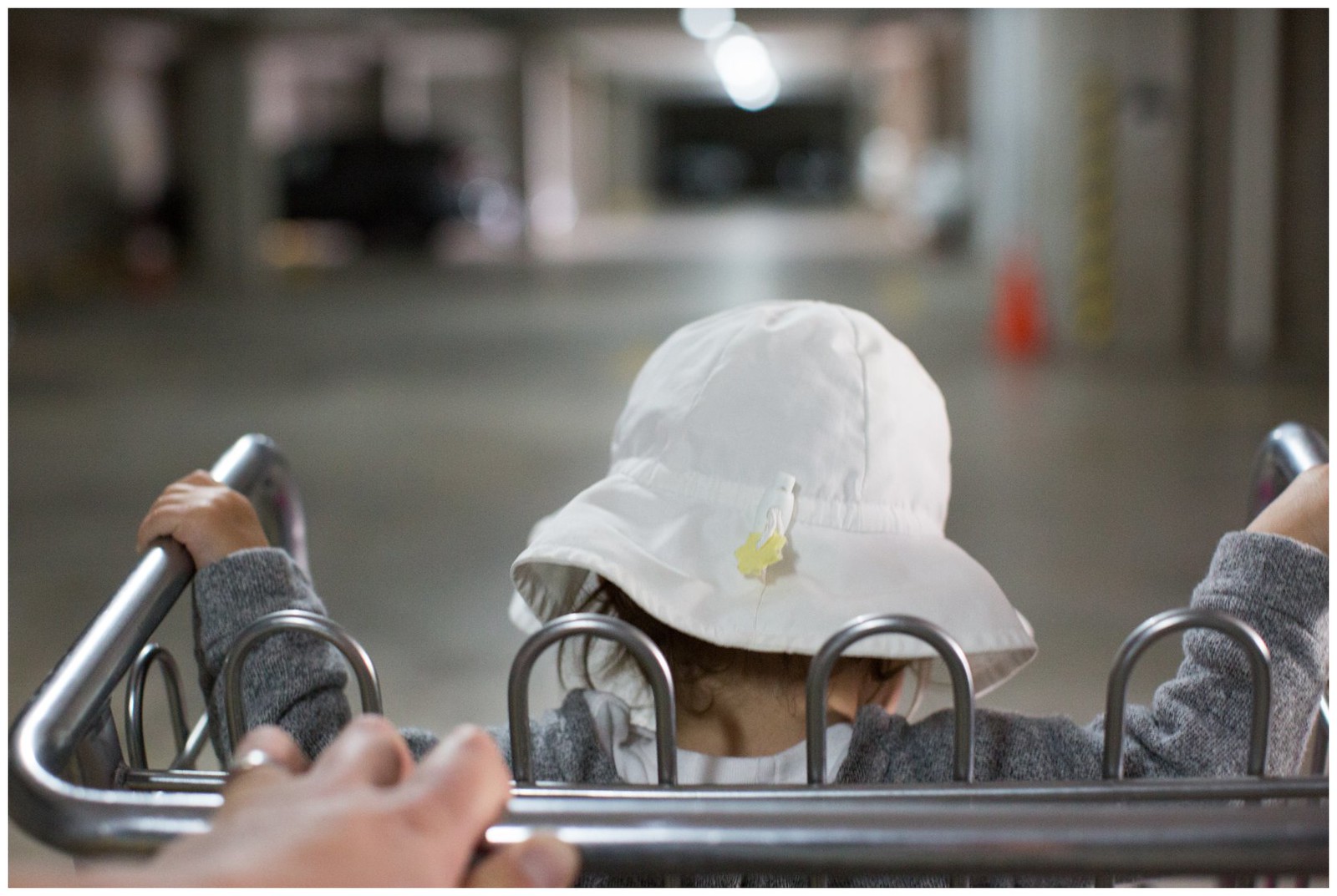
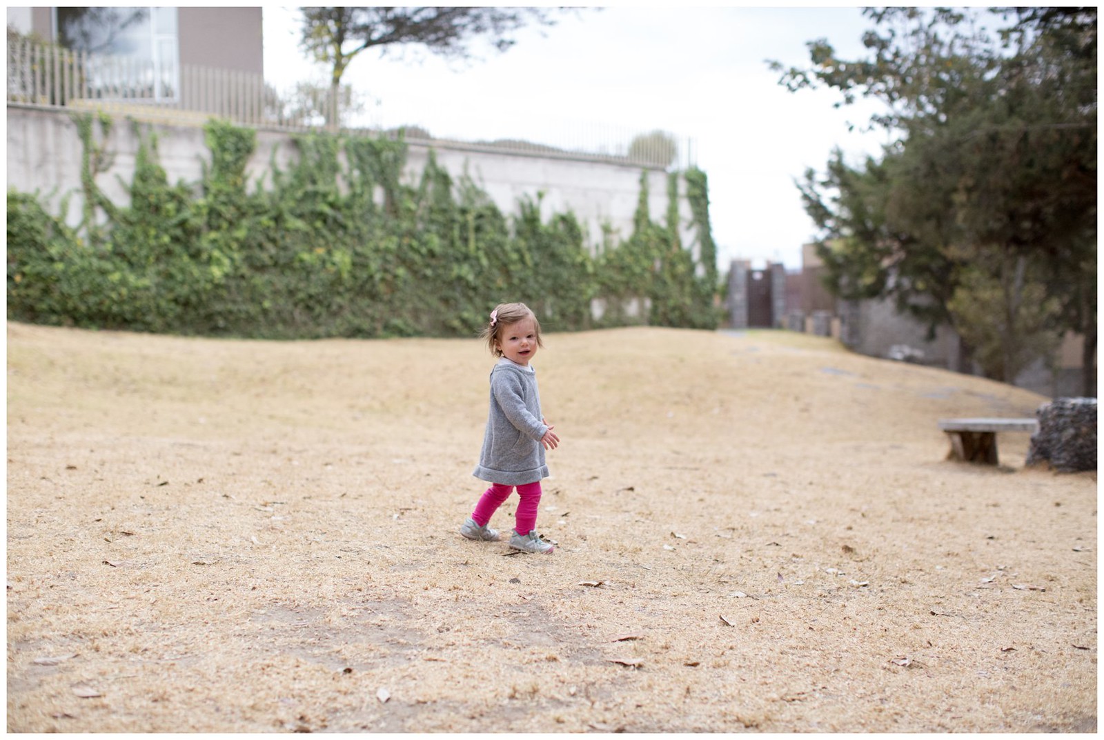
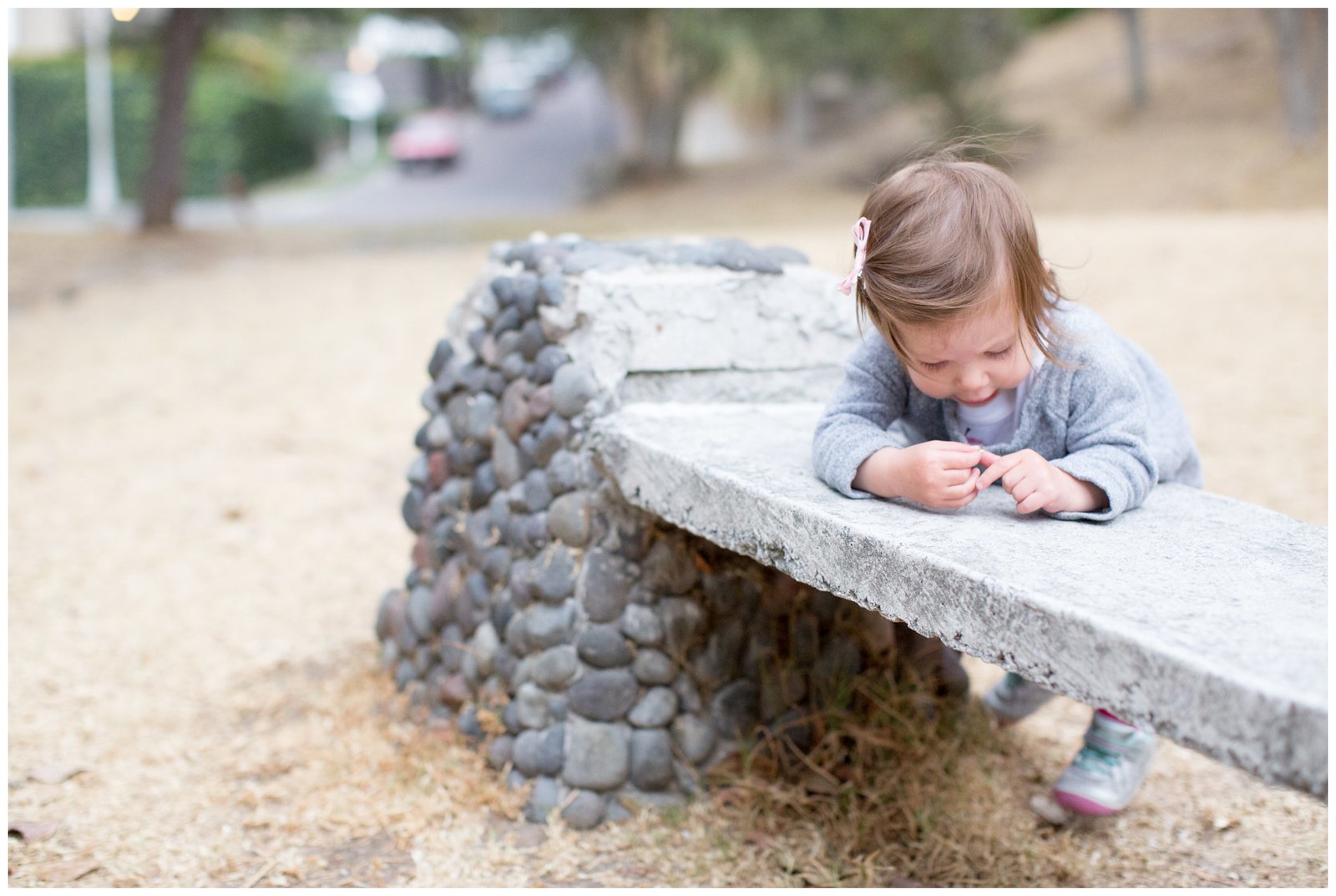
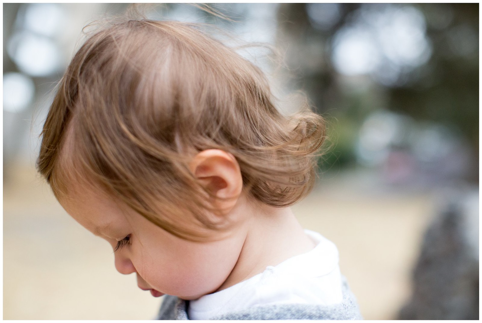
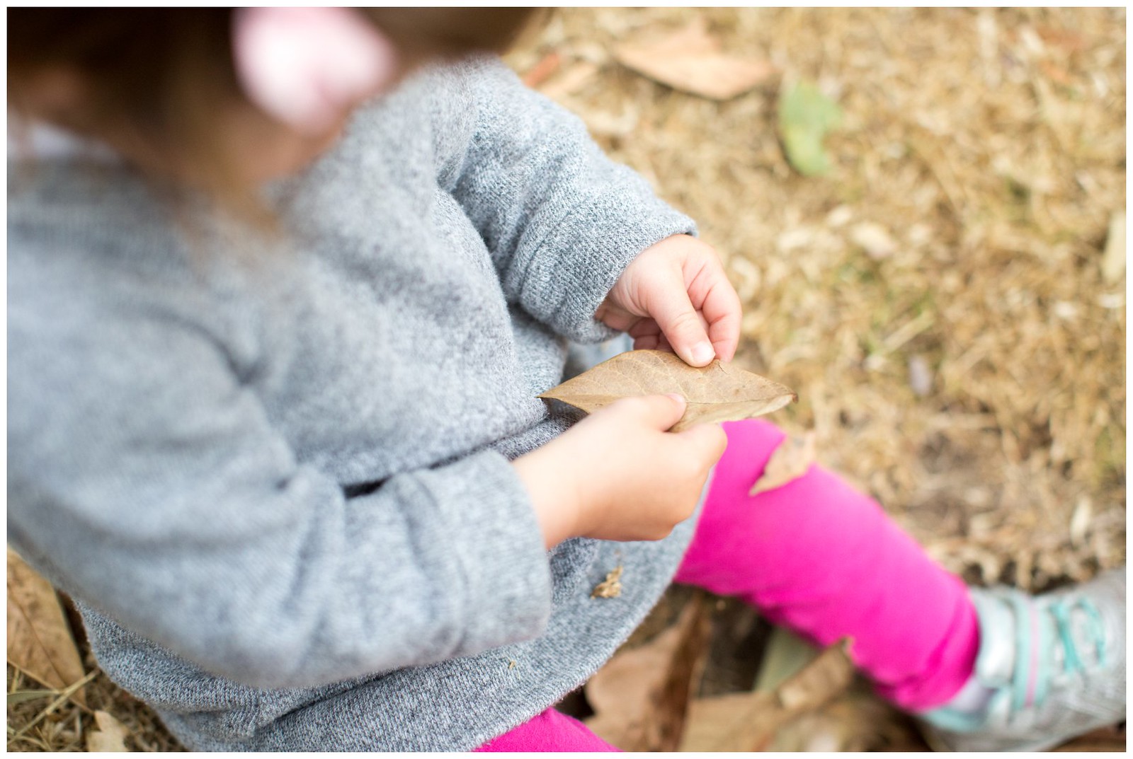
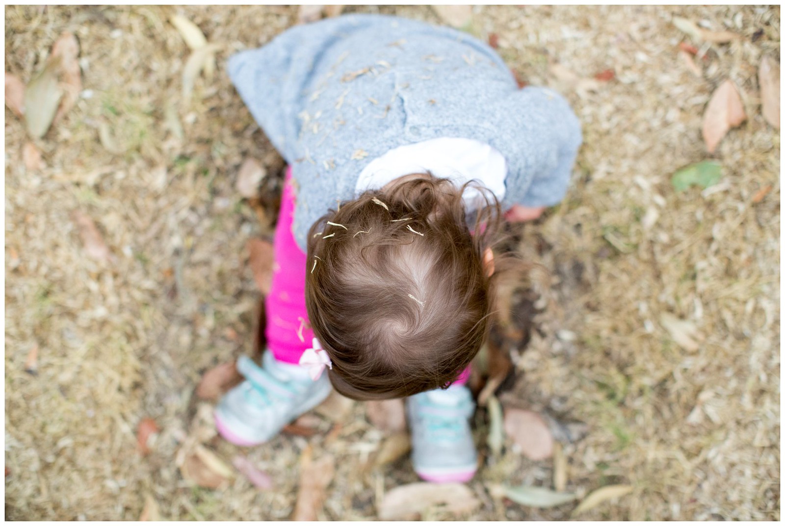
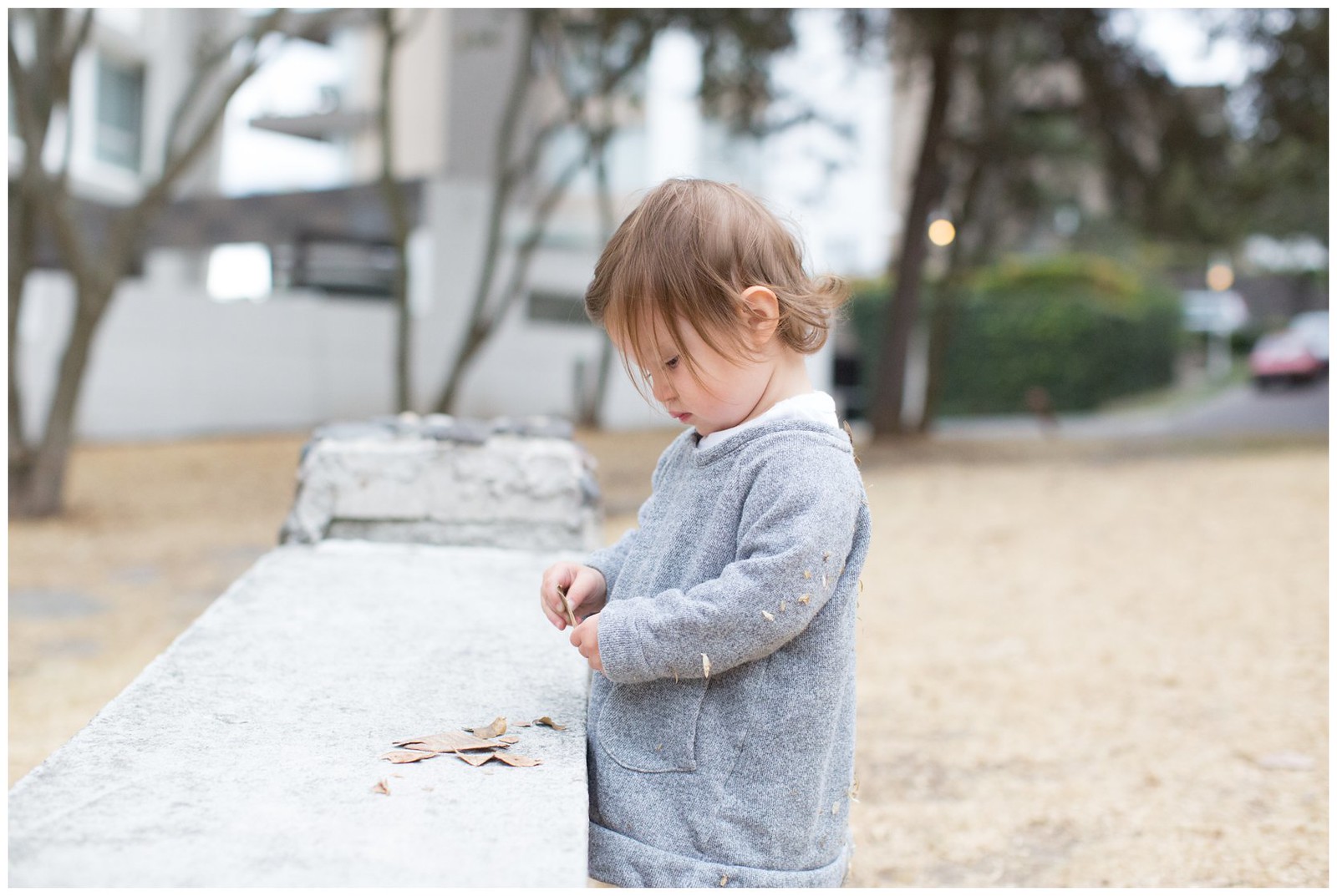
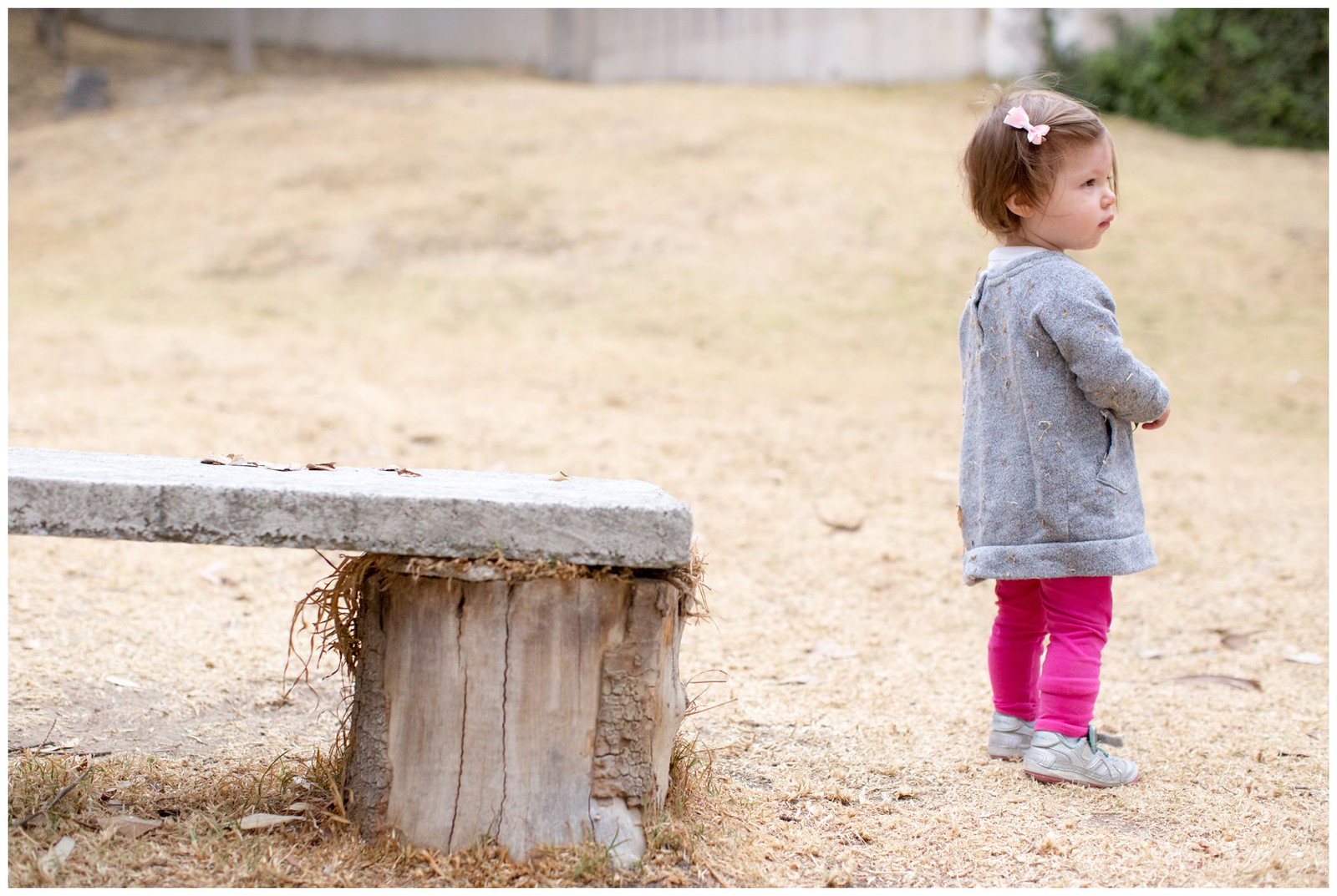
Just A Random Saturday in Quito
Some pictures taken with my trusty 50mm lens.


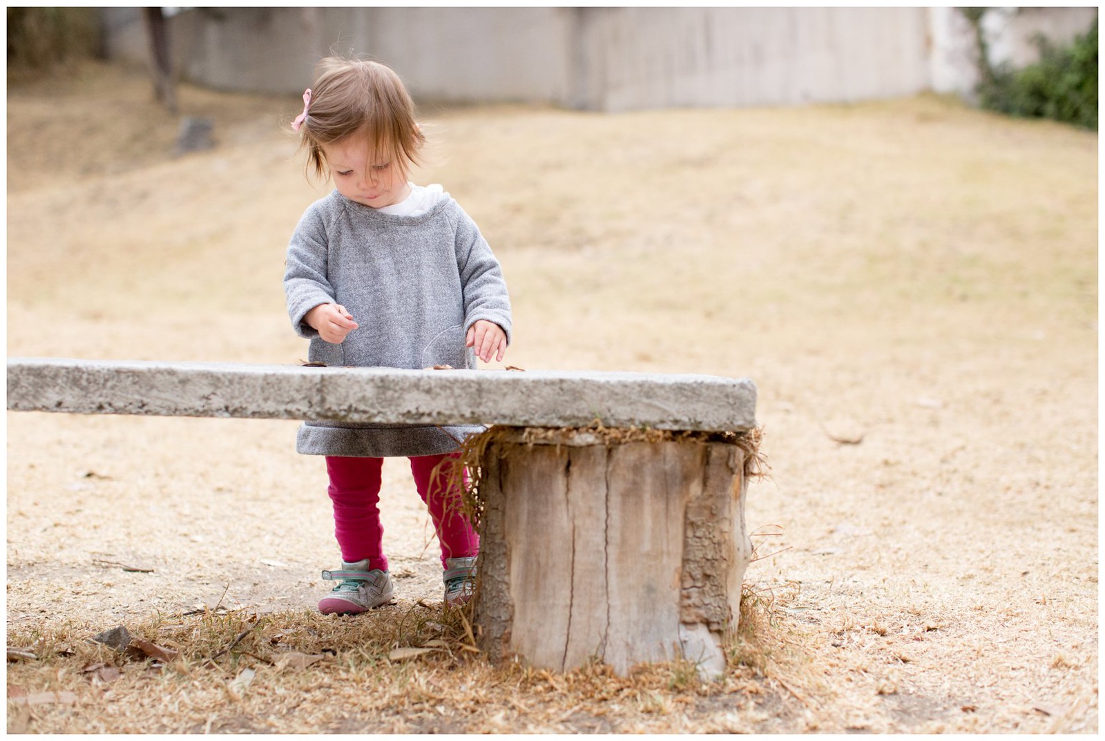
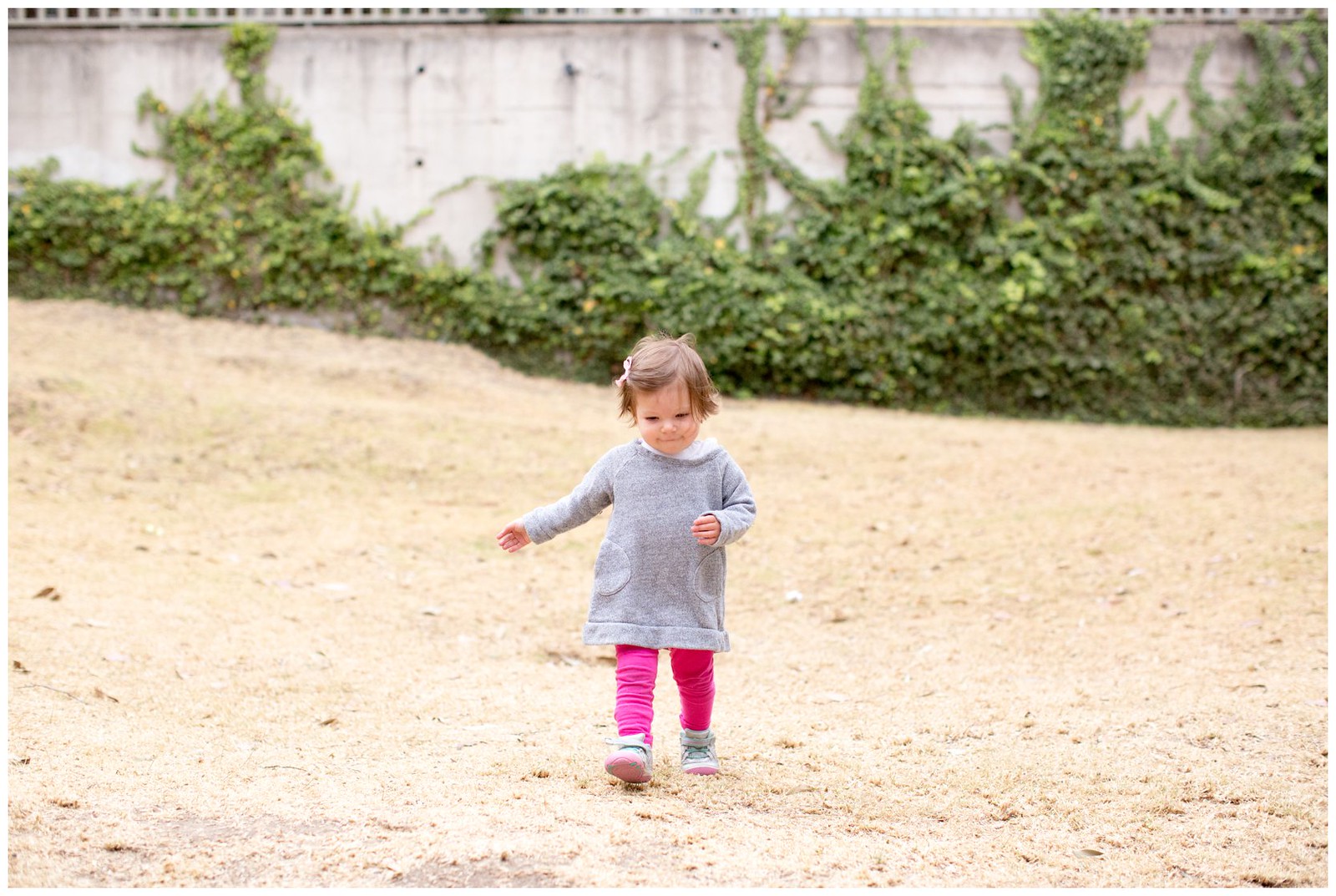


Some pictures taken with my trusty 50mm lens.
As mentioned in a previous post, Pichincha consists of 2 peaks, Rucu (meaning old person) and Guagua (meaning baby). Guagua Pichincha is the higher of the two peaks at an altitude of ~ 15,728 ft. and is active with its most recent eruption in 1999.
It's easiest to reach the rim of Guagua because you can drive to the Refugio, from which it is just a short walk (30 minutes) to the crater. However, because the road reaches altitudes of 15,000+ feet, the drive itself can be a challenge given the lack of oxygen needed for your vehicle's combustion. The trick for us was for Julia and our 2 hitchiker friends to dismount the car at the steeper portions of the road in order to make the climb. Once the road leveled off, Julia climbed back in and we were able to complete the drive. The 2 hitch hikers graciously decided to walk the rest of the way allowing us to reach the Refugio.
The dry season here afforded us a clear view of the three snow capped volcanoes, Cayambe, Antisana, and Cotopaxi. This year, the dry season has also resulted in an abundance of forest fires which was evident in the views.
On this clearest of days, and while I remembered to pack the camera, yours truly left the battery in the charger at home. The pictures below were taken with my trustee iPhone 6.
To view the entire album click here.


Guagua crater with lava domes.


Video below

Cotopaxi awoke on Friday August 14th with several explosions blowing ash thousands of feet high. The last time it erupted was in 1940. Since Friday's eruption, it continues to spew ash. Luckily the winds have not blown it in our direction but on clear days it does make for some nice views.
Our home is far enough from the dangers of pyroclastic flows and high enough from rivers that might flood due to lahars. Our primary concern is ash but again the winds have kept the ash from reaching us. The big question is if Cotopaxi will have a major eruption, it's first since 1877. In any event, preparations are taking place. We are still on yellow alert, the lowest of the 3 levels. For more information visit http://volcancotopaxi.com.
This picture was taken this morning in what is the first of many pictures to come.

Pichincha is an active stratovolcano just west of Quito. It consists of two peaks, Guagua Pichincha, the active caldera with the last eruption in 1999, and Rucu Pichicha which is inactive.
Our hike to Rucu Pichincha began by taking the teleferico, equivalent to a gondola, to the starting point of the hike at ~12,700 feet. On this day the sky was relatively clear giving us some fantastic views of Quito. Although, at this point, the path was pretty clear, free of rocks, once we hit ~13,500 feet I needed to take some serious deep breaths during the more steep climbs. At about~14,000 feet the trail got more narrow with some more steep drop offs on the side.
We hit a point where the path required some simple rock climbing. I say simple, as it would be the case for most people, but given that I am afraid of heights, if at any point I slipped, I would have rolled down the side of this rocky mountain. To me, the hike became unenjoyable and I still wanted to return home and play with Annika. Julia, of course was perfectly fine but very understanding and when I mentioned turning around she was perfectly fine with it.
According to the map we were somewhat close to the crater of Rucu but given the steep climb at altitude, this could have taken us an hour or so to complete. We ran into 2 people suffering from altitude sickness. At our highest point, ~14,300 feet, we hit what seemed like the spine of the mountain, where if you faced east you looked down upon Quito, and if you faced west you looked down upon the cloud forest and eventually the ocean. Unfortunately the clouds obscurred our view west. Facing north or south you see volcano alley, with other volcanic peaks dotting the skyline.
Oh well...better luck next time if there is one.
To view the entire album, click here.


We are blessed to have Marcela in our lives and taking such great care of Annika. We were honored to have been invited to her house for dinner and to meet her parents and aunt. As usual the food was delicious and Melany showed us her muscial talent playing several songs on her guitar which included our wdding's first dance "Tabaco y chanel" by Bacilos.
Leaving Marcela is going to be one of the most difficult part of our upcoming move.
To view the entire album, click here.


Waking up to a clear Sunday morning, we thought we would take advantage and head to the Antisana Ecological Reserve to see if we could get a clear view of Volcan Antisana. While Cotopaxi was clear, unfortunately Antisana was mostly covered by clouds, however, we got to see some impressive views of the reserve, Quito, Volcan Pichincha, and Volcan Sincholagua.
We hiked up a hill, bringing us at an altitude of roughly 13,500 feet in hopes of getting a glimpse of Cotopaxi, but, that particular side of the volcano was covered in clouds. We did stumble upon some wild horses along the way.
Leaving the reserve we saw a group of Andean Condors in what appeared to be them practicing to glide as one by one they took turns flying in a circle.
To view the entire album, click here.


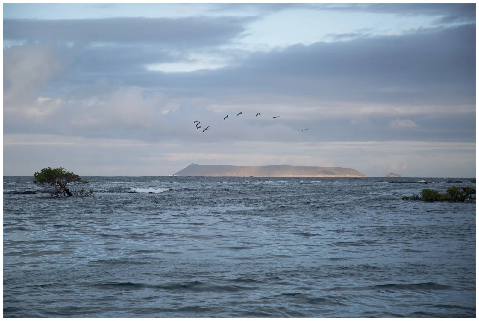
Sierra Negra is an active volcano located on the south side of Isla Isabela. It has the second largest caldera in the world. The south side of the volcano is lush in vegetation and has over 100 family farms. The northern side, however, is quite the opposite -- dry with cacti growing out of lava rocks.
Volcan Chico, from my interpratation of what the guide was telling us, is the name for the northern part of Volcan Sierra Negra. This is the area where lava flows from recent eruptions reached the sea.
Our 11 mile hike began at ~8:00 a.m. on the sourthern side of Volcan Sierra Negra. It was cool, foggy, and with periods of light rain. We hiked up to the caldera and walked along the eastern ridge heading north. Upon reaching the northern side of the caldera, the conditions quickly cleared up and the temperature was much warmer. We headed down towards Volcan Chico and the terrain quickly changed to a drier landscape filled with lava rock and cacti. As we headed down the caldera we walked on lava rock ranging in age from 5000 years old to that of the most recent eruption in 2005. We saw several lava tubes, fumaroles that release hot humid air, incredible lava formations, mini volcanoes, and what many describe as a Mars-like landscape with colors ranging from red, orange, yellow, and black. As we returned to our starting point, the afternoon soon burned off the morning fog allowing us to view the caldera in its entirety.
This was truly and amazing hike.
To view the entire album, click here


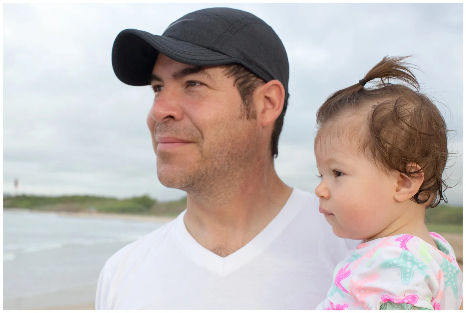
With our time in Ecuador quickly coming to a close, we decided to take our long anticipated trip to Las Galapagos. Because we wanted the peanut to experience the Galapagos and to fully take advantage of the experience, we decided it would be a good idea to bring Marcela, Annika's nanny. As a bonus, it was Marcela's first time on a plane and first time visiting the Galapagos. To save time and avoid the ferry, we took an avioneta, with no more then 10 passengers including the pilot, from Baltra to the Island of Isabela. We are grateful that she could visit this part of her country with us even though she had a peanut that requires A LOT of walking.
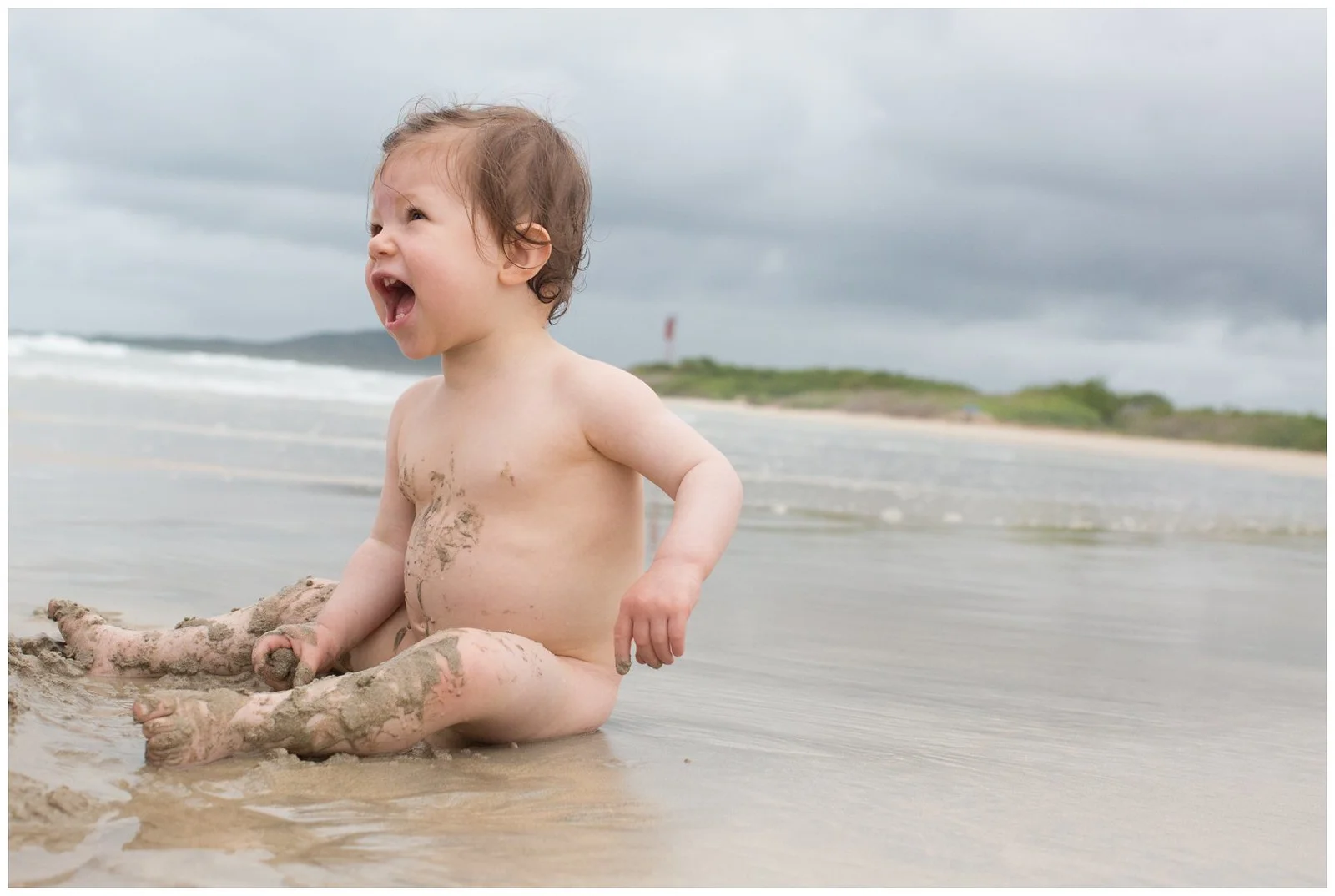
Annika and Marcela enjoyed hanging at the beach side hotel while Julia and I took the opportunity to take some not-so-baby-friendly tours. Posts regarding the tours will come later later.
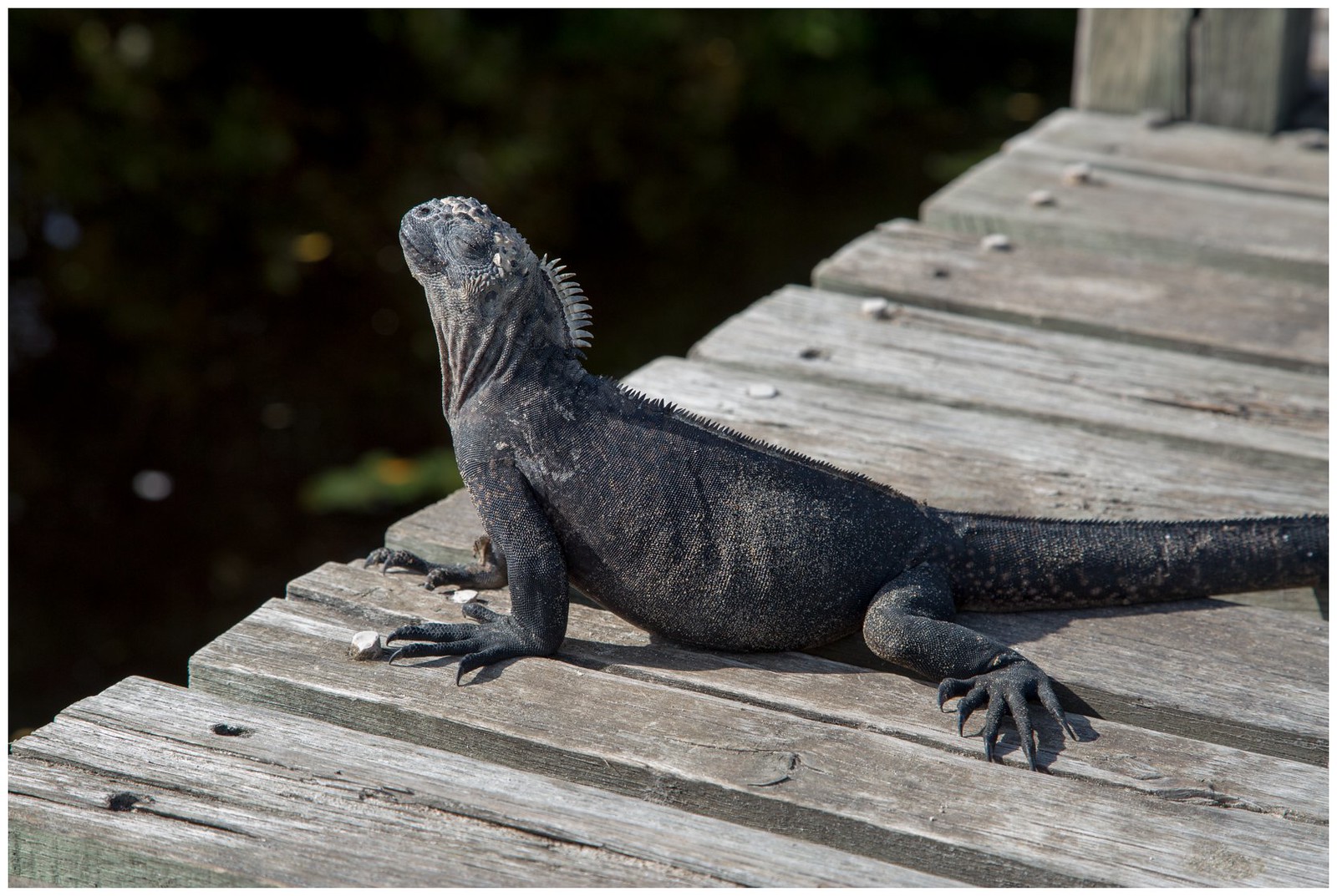
We felt welcomed by the staff at the Iguana Crossing hotel (where the Iguanas actually cross to go to and from the beach). The water was perfectly warm and Annika really enjoyed walking into the waves. Quite a different beach experience from Texas.
To view the entire album click here.


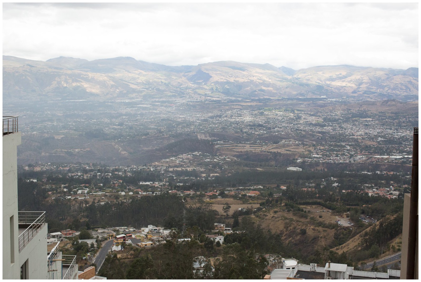
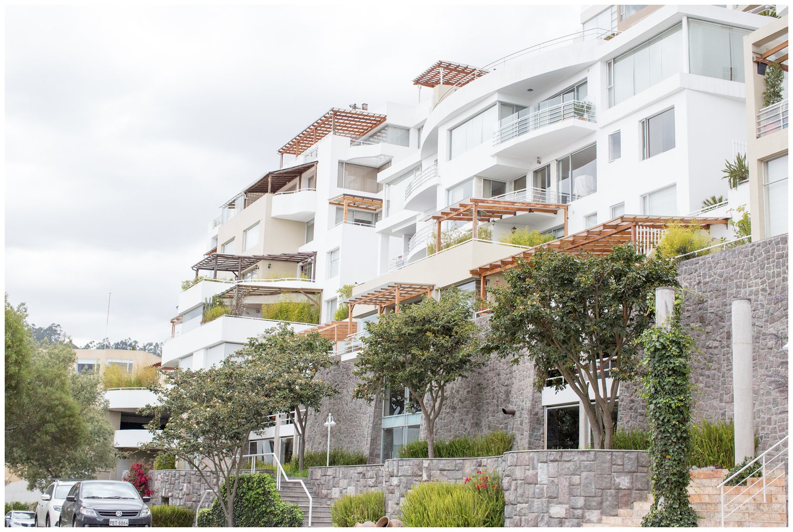
When mornings are clear here in Quito, which is not often, all of the volcanoes are visible and the views are incredible. This morning was relatively clear, and since we are up early these days, we headed to the rooftop of the building in front of us for some fantastic dawn pictures of the volcanoes and the valley below. I never tire of taking these types of pictures. These views will sorely be missed.
To view the entire album, yes I did an album since there are so many pics, click here.


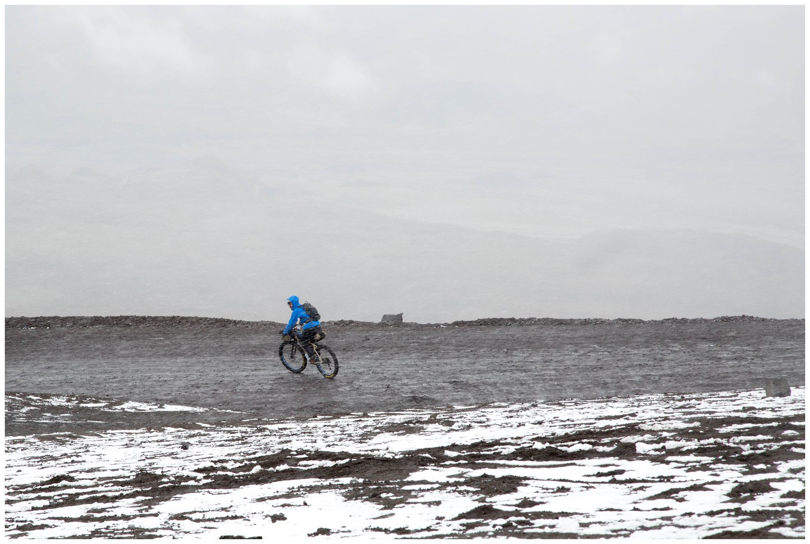
On a rainy Sunday morning, I drove to Cotopaxi National Park to drop Vince off for his 5 day bikepacking trip. Yes, 5 days bike riding at high altitude climbing up and down thousands of feet. I too brought my new bike, which Vince graciously packed and shipped to me, to ride for an hour or two max. Bike riding at 12,000 feet on sandy or grassy unpaved roads was difficult but the views definitely helped.
In any event, the drive up to the base camp at Cotopaxi, roughly 15,00 feet high, was cold and snowy - first time i ever experienced snowfall in Ecuador. Vince rode back down while I drove and took pictures. We later did a little riding in the park taking a brief break for lunch. I left Vince where he and 2 others began a 5 day bikepacking adventure.


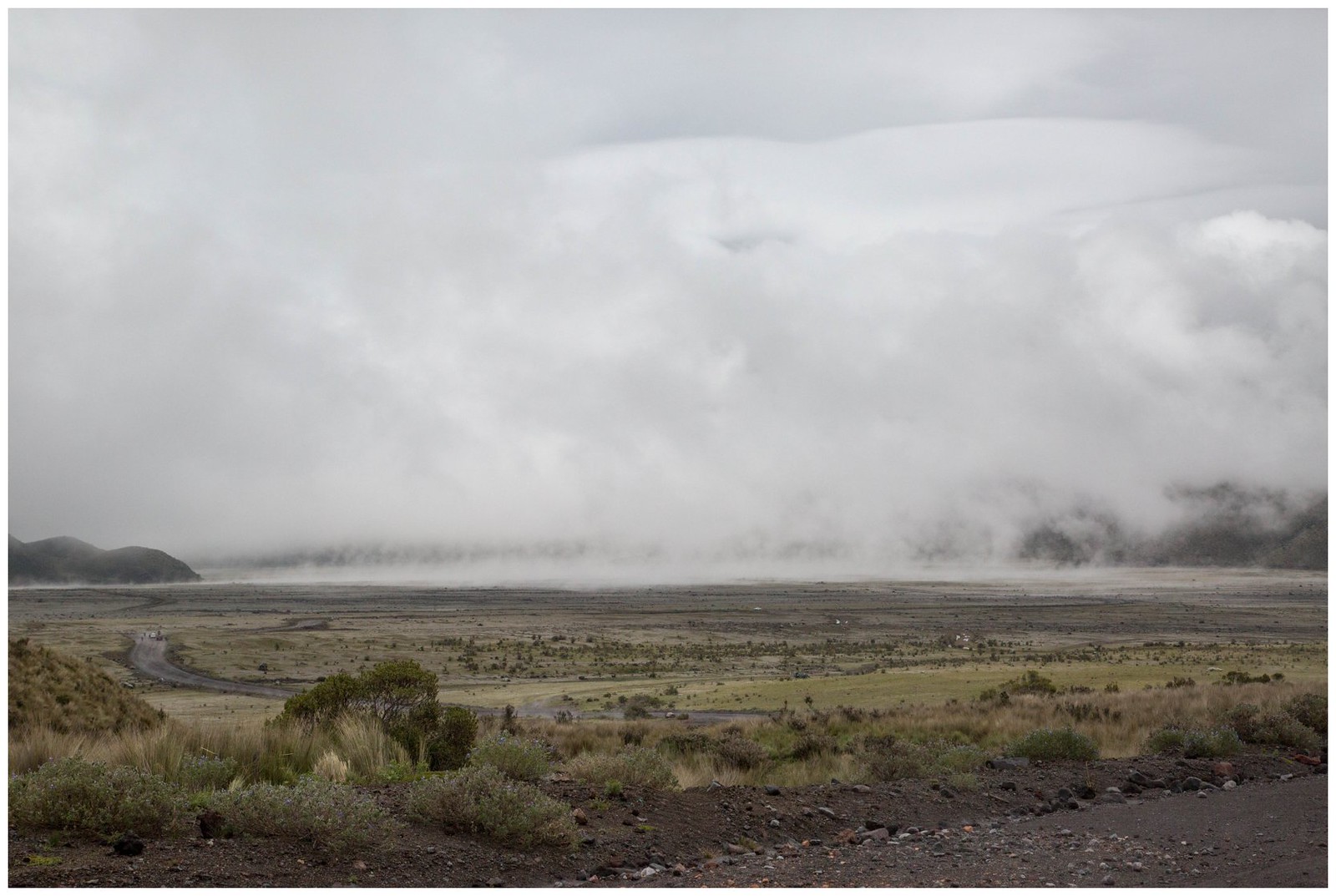


What should have been a short drive from Papallacta to the Antisana Ecological Reserve was anything but. Unfortunately there is no direct route to Antisana so we had to drive through some very interesting towns, but in the end, it was well worth it. Once inside the park, the road leading to Antisana had some breathtaking views even with Antisana surrounded by clouds. Although Antisana and Cotopaxi are not very far from each other, the paramos looked different. We shall return to hopefully get a clearer view of her soon enough.
To view the entire album click here.


.")

About an hour east of Papallacta, down a windy road on the eastern slopes of the Andes, is Cabañas San Isidro. It was the first time that Julia and I have travelled to the eastern Andes. Cabañas San Isidro is a reserve that lies between two national parks and has well-marked and maintained forest trails where one can see various species of birds and Colibris (Hummingbirds). We started our hike into the humid cloud forest and, as the administrator told us, "In the rainy season it rains all the time but in the dry season it rains every day", it began to rain. For the most part, the thick forest protected us from the downpour. At the end of the trail there was a hummingbird watch station where there was some intense feeding activity as the birds were not bothered by the rain. To view the entire album click here.


Some Videos
Just 40 miles east of Quito, and at an altitude of 10,800 feet, are the Termas de Papallacta, the hot springs of Papallacta. With Vince and Michelle having just arrived to Ecuador, we figured the hot springs would be a great way for them to get aclimated to the altitude. Vince and I did a little bike riding and it turns out he was in no need of aclimating. I, on the other hand, gave up after ascending just 500 feet at roughly 12,000 feet. We did manage to do a little hiking along the entrance to Reserva Ecológica Cayambe Coca and although it was cloudy, we got some good views of the Cascada de Baños. To view the entire album, click here.


Soon all of our attention will be consumed by our baby girl, entering this world in late April, God willing. To "celebrate" we headed south to The Avenue of the Volcanoes for our BabyMoon over President's Day Weekend and stayed at some fantastic Haciendas. Many thanks to Suzan, Michelle, and Vince for the birthday gift! The Avenue of the Volcanoes was named in 1802 by the German exploreer Alexander von Humboldt. Known as the spine of Ecuador, it can also be thought of as a ladder where the north side of the ladder resides in Quito and goes south several hundred kilometers. The sides of the ladder are where the mountains and volcanoes reside while in the middle is a fertile valley at an elevation of around 9,000 ft. Driving south from Quito, along the Pan American Highway, on a clear day one can see off in the distance Volcan Antisana (18,860 ft.), Volcan Illiniza (17,218 ft.), and the famous Volcan Cotopaxi (19,350 ft). Cotopaxi is roughly 50 km south of Quito.
We stayed at 2 haciendas, each with its own history. The first was Hostería La Ciénega. To paraphrase from Insight Guides - Ecuador & Galapagos, its main house "is a stone mansion with huge windows, stone-cobbled patios and Moorish-style fountains". It was built in the mid-1600s for the Marquis family. The bell in the stone chapel, installed in 1768 after 20 years of devastating eruptions from Cotopaxi, is still rung every Sunday morning. It is said that the Maenza-Lasso family plotted Ecuador's independence from Spain here in the 1800s. The food here is fantastic and the menu contains a wide variety of dishes.
For our second hacienda we stayed at San Agustin de Callao, one of the 5 best haciendas in Ecuador. Again paraphrasing from Insight Guides - Ecuador & Galapagos, it was built on an Inca palace site. Its chapel and dining room are built "entirely within the original Inca stonework". The Hacienda offers horse-back rides around Cotopaxi that I'm sure are with impressive views of the volcano on a clear day. We opted out of the ride given Julia's belly but we thoroughly enjoyed the fantastic meals!
During the day we headed to the Parque Nacional Cotopaxi. Upon entering the park we noticed pine trees on both sides of the highway. The Monterrey Pines were brought in from California and grow much quicker than the native trees, perfect to supply the demands for lumber in the area. The problem, however, is that this pine spread quickly and overtook the native vegetation. Continuing our drive into the park, and ascending in altitude, the road turned from paved to gravel. At the visitor's center we stopped and did a small hike overlooking what appears to be a gorge created by lava flows from Cotopaxi. We then continued the gravel road up the mountain eventually stopping at the parking lot just below El Refugio. This is where nearly 15 years ago Julia stayed a couple of nights acclimating before climbing up the volcano. Roughly ~14,000 feet high high we could see El Refugio and the glaciers Julia had to climb to get to the peak. The view down was impressive. We later drove back down and somehow veered off into the off-roads heading towards Volcan Sincholagua. The off-roading was fun with Mars-like terrain and massive rocks dotting the area. It was quiet and surreal with just the occasional contact with other off-roaders and wild horses. Eventually we stumbled on a creek from which Julia recalls drinking 15 years ago -- this is most likely how she got Giardia given she saw a dead horse further up the creek.
The next day we returned to the park and took a nice hike around Limpiopungo Lagoon. On a clear day one would be able to see Cotopaxi but on this day clouds again blocked our view.
We will be returning frequently to this incredible park and hope to capture the volcano unobstructed by clouds. Obviously this is the most I've written in a blog but the area is just fantastic.
To view the entire album click here.


http://svelazquez.smugmug.com/Qutio/BabyMoonCotopaxi/i-CM9mQdc/A
We woke up Sunday morning with the sun lighting our bedroom like clock work at 6:30 a.m. Given that it was a sunny day, we decided to take another stab at Reserva Yanacocha. As we got closer to the Reserva, the visibility began to drop -- we were upon the cloud forest once again. But this time there was no rain but just clouds so we decided to park and go for a hike along the flat trail. We were glad we did. The vegetation along the Inca trail was impressive. I've never seen lettuce that big! Because of the constant dampness from the clouds, the flowers seem to be constantly blooming. This provides enough nectar to feed the plethora of humming birds.
To view the entire album click here.


Julia and I decided to drive to Reserva Yanacocha, a reserve near the Volcán Pichincha just to the west of Quito and home to a wide variety of humming birds. The trail was near Quito and although the trails were at high altitude, they were relatively flat -- perfect for my pregnant wife and her out of shape husband. It took us only an hour to get there thanks to the directions we found on a great blog. While driving up the mountains west of Quito to the reserve, we noticed clouds hanging around the peaks. We turned onto the roughly 10km dirt road that leads to the reserve, at an elevation of ~10,000 feet, and soon we were in the clouds. Duh! So this is what a cloud forest looks like! When we reached the reserve rain was coming down at a pretty good clip and the temp was near 48F. Today was not a good day for a hike after all. We regrettably decided to drive back down to Quito and try again some other time when the weather cooperates.
The good thing is that we know the route and even though we were technically less then 10 miles away from Quito, it felt as if we were hundreds of miles away. Stay tuned to our next attempt at this reserve!


It has been raining a lot over the last couple of days but thankfully we got a break today. We decided to take a little road trip to a farm south of Quito named Hacienda La Alegria. This charming farm is free of car alarms and other city noise, and instead has only sounds of the wind blowing against the leaves. Juan Luis was kind enough to give us a tour of the place, showing us the rooms in their western motif with spectacular views of the country side. He showed us the horses, cows, and more importantly the llamas. They were comedic in appearance with their hair and teeth and always weary of Jessica the German Shepard who was nearby and known to chase them.
They provided us with a fantastic lunch -- a traditional Ecuadorian soup (forgot the name), chicken with rice and green beans, and a lemon mousse for dessert. All were delicious!
Given that it only took us 45 minutes to get there, we definitely will be returning.
To view the entire album, click here.


After 5 months of living at my parents house, temporary housing, and hotels, we have finally moved into our new home. We haven't done a whole lot of exploring because of the move, unpacking, and cleaning but we finally cleaned up the lower floor so I got my camera out to take some pics. We have a lot of light compared to our place in Mexico. Many thanks to Suzan for finding us this gem and to my parents for letting us -- including our cats -- stay at their home!


We took a day trip to Otavalo, a small town known for its textiles and surrounded by Imbabura, Cotacachi, and Mojando volcanoes. Saturday is known for the Mercado Artesana and we stopped there for a couple of hours to do some shopping. Afterwards, we took a relatively short yet windy road to Laguna Cuicocha, a 2 mile wide caldera and crater lake at the foot of Cotacachi Volcano. We are truly enjoying all the natural wonders of Ecuador!


