Guagua Pichincha

As mentioned in a previous post, Pichincha consists of 2 peaks, Rucu (meaning old person) and Guagua (meaning baby).  Guagua Pichincha is the higher of the two peaks at an altitude of ~ 15,728 ft. and is active with its most recent eruption in 1999.  

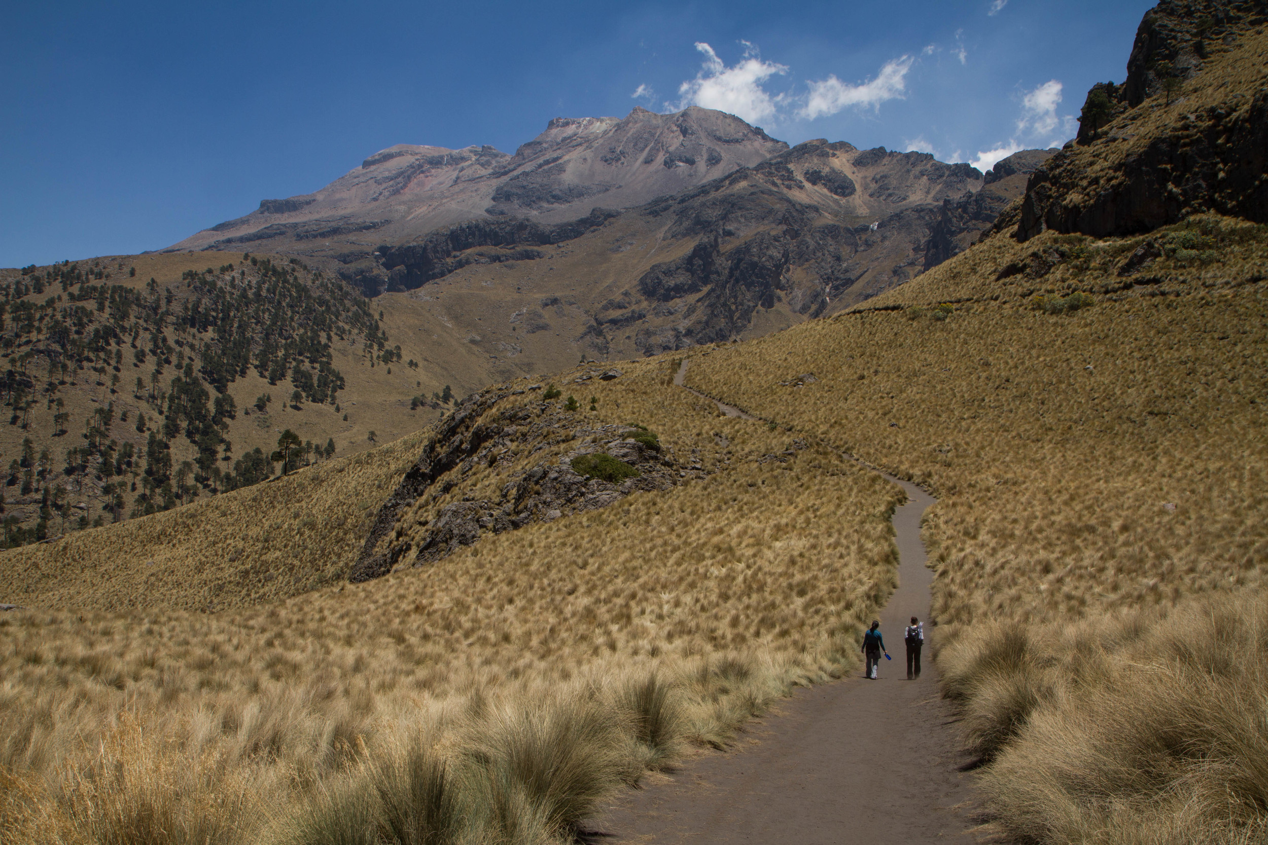
It's easiest to reach the rim of Guagua because you can drive to the Refugio, from which it is just a short walk (30 minutes) to the crater.  However, because the road reaches altitudes of 15,000+ feet, the drive itself can be a challenge given the lack of oxygen needed for your vehicle's combustion.  The trick for us was for Julia and our 2 hitchiker friends to dismount the car at the steeper portions of the road in order to make the climb.  Once the road leveled off, Julia climbed back in and we were able to complete the drive.  The 2 hitch hikers graciously decided to walk the rest of the way allowing us to reach the Refugio.

The dry season here afforded us a clear view of the three snow capped volcanoes, Cayambe, Antisana, and Cotopaxi.  This year, the dry season has also resulted in an abundance of forest fires which was evident in the views.  

On this clearest of days, and while I remembered to pack the camera, yours truly left the battery in the charger at home.  The pictures below were taken with my trustee iPhone 6.

To view the entire album click here.

Antisana on the left and Cotopaxi on the right.  The smoke is from forest fires.
Photo & Video Sharing by SmugMug

Guagua crater with lava domes.

Photo & Video Sharing by SmugMug
Looking west into what's known as the cloud forest (Mindo).  The haze is from the forest fire currently burning near Cotopaxi
Overlooking the refugio.  Cayambe in the background
Photo & Video Sharing by SmugMug
There have been a lot of fires lately which i guess is typical during the dry season.

Video below

Photo & Video Sharing by SmugMug


Sierra Negra

Sierra Negra is an active volcano located on the south side of Isla Isabela.  It has the second largest caldera in the world.  The south side of the volcano is lush in vegetation and has over 100 family farms.  The northern side, however, is quite the opposite -- dry with cacti growing out of lava rocks.  

Volcan Chico, from my interpratation of what the guide was telling us, is the name for the northern part of Volcan Sierra Negra.  This is the area where lava flows from recent eruptions reached the sea.  

Our 11 mile hike began at ~8:00 a.m. on the sourthern side of Volcan Sierra Negra.  It was cool, foggy, and with periods of light rain.  We hiked up to the caldera and walked along the eastern ridge heading north.  Upon reaching the northern side of the caldera, the conditions quickly cleared up and the temperature was much warmer.  We headed down towards Volcan Chico and the terrain quickly changed to a drier landscape filled with lava rock and cacti.  As we headed down the caldera we walked on lava rock ranging in age from 5000 years old to that of the most recent eruption in 2005.  We saw several lava tubes, fumaroles that release hot humid air, incredible lava formations, mini volcanoes, and what many describe as a Mars-like landscape with colors ranging from red, orange, yellow, and black.  As we returned to our starting point, the afternoon soon burned off the morning fog allowing us to view the caldera in its entirety.  

This was truly and amazing hike.

To view the entire album, click here

Hike to the southern side of the crater started with light rain
The northern side of the crater, which is where the recent lava flows have taken place, is called Volcan Chico.
Saw this guy having a snack on our hiking path.  Turtles are making a comeback

Cotopaxi Is Alive

For the last couple of weeks Cotopaxi has been showing signs of activity with increase sulfur emissions and long period earthquakes -- none of which could be felt in Quito.  The increase in long period earthquakes is likely due to internal fluid (magma) movements.  

Will she erupt?  Probably not but you never know.  In the picture below you could see steam clouds coming off the mountain.

Volcan Cayambe.  This one is nice and quiet.

Been trying to capture a picture to show just how close Volcan Cotopaxi is to Quito.  I think this one finally captures it.  


Otavalo

We took a day trip to Otavalo, a small town known for its textiles and surrounded by Imbabura, Cotacachi, and Mojando volcanoes. Saturday is known for the Mercado Artesana and we stopped there for a couple of hours to do some shopping. Afterwards, we took a relatively short yet windy road to Laguna Cuicocha, a 2 mile wide caldera and crater lake at the foot of Cotacachi Volcano. We are truly enjoying all the natural wonders of Ecuador!

Izta-Popo National Park

I had been wanting to go to Paso De Cortes ever since hearing about it in a documentary. It is a mountain pass between Popocatépetl and Ixtaccíhuatl volcanoes, roughly 11,000 feet above sea level, and the path through which Herman Cortes and his army marched to Mexico City. Julia and I with some friends headed to Parque Nacional Izta-Popo for a hike, picnic, and of course to take some photos. Roughly 2 hours from Mexico City, we arrived at Paso De Cortez and the entrance to the park. The view of Popocatépetl spewing smoke, as it is still active, was amazing. After entering the park, we drove north on a dirt road to La Joya where we parked and began hiking at roughly 11,857 feet.  Once we reached 13,235, we decided to turn back to give our lungs a break.  The park provided a great escape from the city life. To view the entire album click here.

IMG_4815
IMG_4815
IMG_4824
IMG_4824
IMG_4835
IMG_4835
IMG_4839
IMG_4839